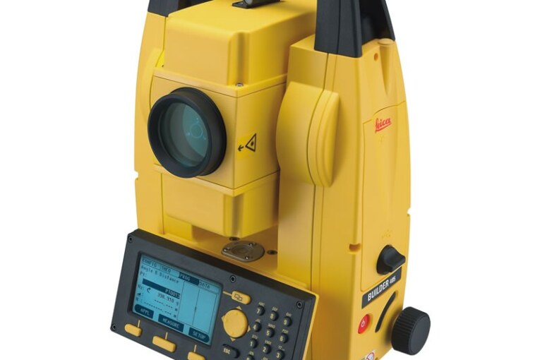
Total Station
- These instruments can record horizontal and vertical angles together with slope distance and can be consider as combined EDM plus electronic theodolite.
- The microprocessor is TS can perform various mathematical operations such as averaging, multiple angle and distance measurements, horizontal and vertical distances, X, Y, Z coordinates, distance between observed points and corrections for atmospheric and instrumental corrections.
Salient Features of Total Station
- TS are fully integrated equipment that captures all the spatial data necessary for a three-dimensional position fix.
- The angles and distances are displayed on a digital readout and can be recorded at the press of a button.
Storage
- Most TS have on-boared storage of records using PCMCIA memory cards of different capacity. The card memory unit can be connected to any external computer or to a special card reader for data transfer.
- The observations can also be downloaded directly into intelligent electronics data loggers. Both systems can be used in reverse to load information into the instruments.
- Some instruments and/or data loggers can be interfaced directly with a computer for immediate processing and plotting of the data.
Field Operation with Total Station
- Various field operations in TS are in the form of wide variety of programs integrated with microprocessor and implemented with the help of data collector.
- All these programs need that the instrument station and at least one reference station be identified so that all subsequent stations can be identified in terms of (X,Y,Z). Typical programs include the following functions:
- Point Location
- Missing Line Measurement
- Resection
- Remote distance and elevation measurement
- Offset measurements
- Layout or setting out operation
- Area computation
Remote Sensing
- Science and art of obtaining information about an object, area or phenomenon through the analysis of data acquire by a device that is not in contact with the object, area, or phenomenon under investigation.
Remote Sensing System
- A typical remote system consists of the following sub-systems:
- Scene
- Sensor
- Processing (ground) segment
- The electro-magnetic (EM) energy forms the fundamental component of a RS system.
Application of Remote Sensing
- Agriculture
- Crop Condition Assessment
- Crop Yield Estimation
- Urban Planning
- Infrastructure Mapping
- Land use change detection
- Future urban expansion planning


